|
|
DEFENDING |
|
A PHOTO GALLERY By Kashyapa A. S. Yapa |
| The list below, indicating different types of
landscape transformations, produced by ancient communities, does
not exhaust all the techniques that combat frost attacks on
agricultural fields. I would very much appreciate your
collaboration in terms of more information regarding such
attempts, both ancient and modern.
CONTENTS: Qochas - llallagua terraces - moray/saraguro/titcaca |
Ridged fields: |
| Canals and raised fields (camellones) at Cayambe (2600m elevation), Ecuador. Standing water in canals, helped keep the air temperature around the planting fields slightly above freezing, during short frost attacks. Cayambe area alone had some 5000ha of camellones. |  |
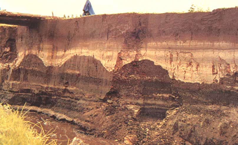 |
A cross section of camellones, covered over by volcanic ash from Quilotoa eruption, several hundred years ago. They reappeared when a river cut a new path. (near Cayambe, Ecuador) (from: Alameda R., Eduardo, 1997, "Monumentos arqueologicos del Ecuador," editorial Luz de America, Quito) |
| Ancient camellones (waru-waru), now abandoned, in Pampa Koani (3800m elevation), south of Lake Titicaca, Bolivia. Thousands of square kilometers, in the flat lands around the lake, were converted to waru-waru fields during Tiwanaku period. | 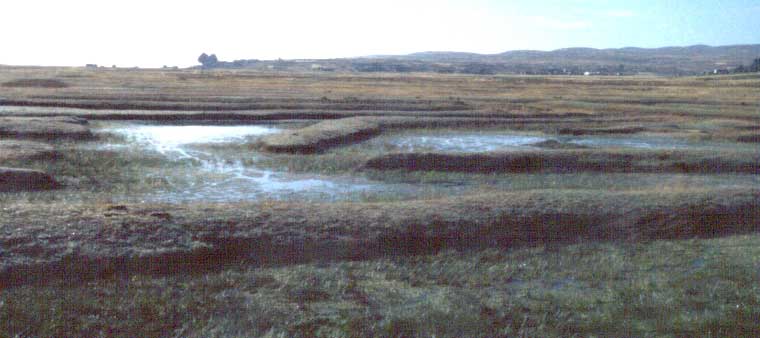 |
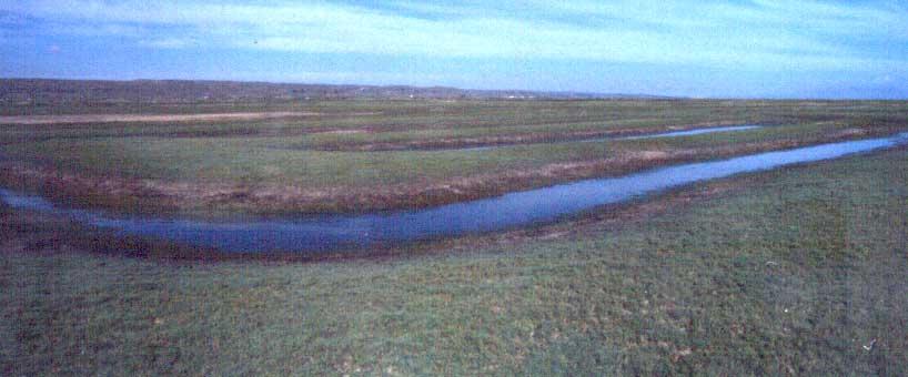 |
The canals took many different forms in Pampa Koani. Some take animal like figures, seen from the air. |
| Refurbished camellones at Lacaya, in Pampa Koani. | 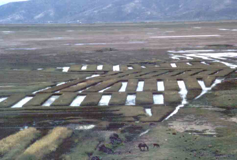 |
|
|
|
| Qochas: |
| These huge, dish-shaped shallow ponds, or qochas, collect rainwater. Plants are grown in lake bed as water recedes. The standing water provides protection against sudden frost attacks, in this high altitude (3900m). (Llallagua, Near Pucara, north of Lake Titicaca, Peru) | 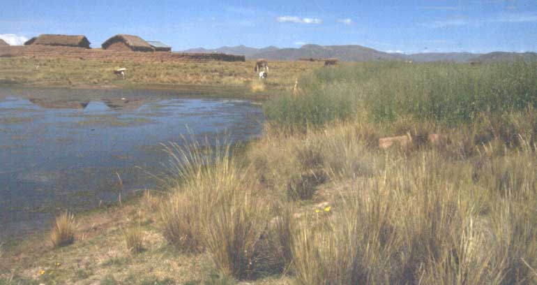 |
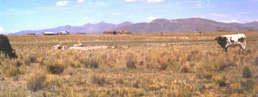 |
Qocha diameter varies from 90 to 150m, and depth 2 to 6m. Some 25000 qochas exist in the plateau between Azangaro and Ayaviri rivers (Flores y Flores, 1983). |
| Plants are grown on top of ridges, between field canals (surcos), in the bed of the pond. |
|
|
|
Some surcos are peripherals, and some others, radials. |
| They can cultivate at the bottom of this pond by diverting water from another, through canals. | 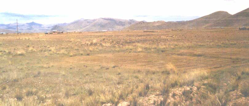 |
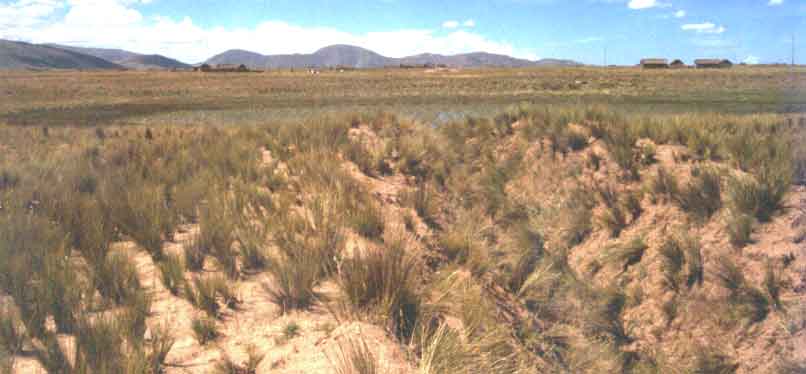 |
A water transporting canal. |
| An aerial photograph of the modified landscape between Ayaviri and Azangaro rivers. A part of the 25000-odd qochas, that dot the plateau, is seen here as small, dark holes. (from: Erickson, 2000) | 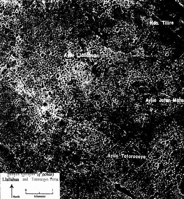 |
|
|
The sketch, of a small portion of the plateau, shows how the qochas were linked to one another, through an extensive network of canals. Twin circles are 'mother qochas'. (from: Erickson, 2000) |
| Terraces: |
| Two of the three, terraced amphitheaters of Moray (3600m elevation), near Cusco, Peru. (From: Shippee-Johnson expedition, 1938) | 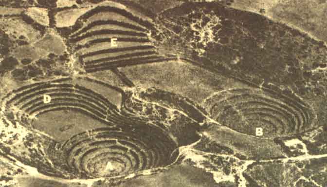 |
|
|
|
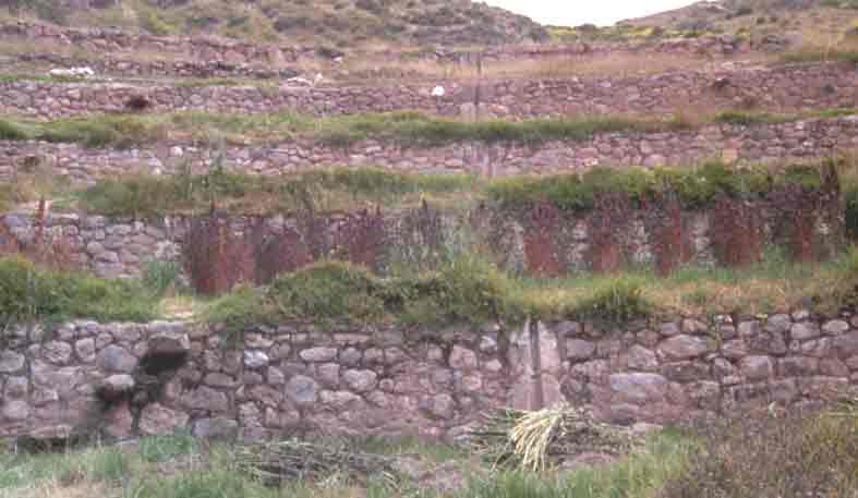
| A close-up of terraces, showing water drops,
stairs and the masonry work.
Below: The other two amphitheaters, now in a state of disrepair. |
 |
|
|
|
| The stepped agricultural platforms at the ridge-tops of San Lucas (3000m+ elevation), near Saraguro, Ecuador, rehabilitated by the community, under the direction of archaeologist Jaime Idrovo. Frost attacks are rare in fields on steep grades. | 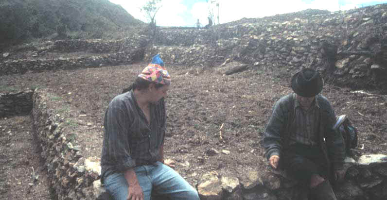 |
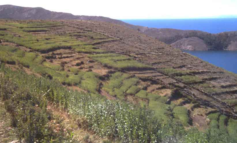 |
Terraced fields in the Sun Island (3800m+ elevation), Lake Titicaca, Bolivia. |
| Aerial photograph of a part of terraced landscape near Pomatta (3800m+ elevation), Lake Titicaca, Peru. (from: Erickson, 2000) |
|
If you would like to begin a discussion, please, write to me |