|
STORING WATER, |
|
|
|
THE
AMERICAN WAY: |
|
A PHOTO GALLERY By Kashyapa A. S. Yapa |
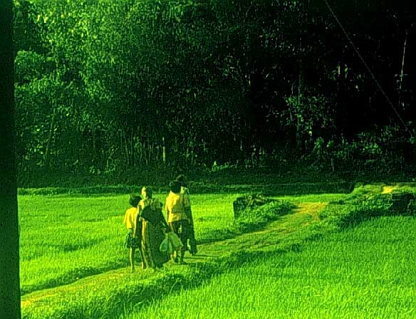
| Below, you will find, some of the ways, our
ancestors used to store large quantities of water. I would
appreciate very much, if you would collaborate, by informing us
about various other techniques that you know of. At a
later stage, I will analyze the problems and benefits of modern
reservoirs as well.
CONTENTS: earthen reservoirs - ascope/ purron excavated reservoirs - pucara/ chan chan modified natural reservoirs - tapada/ moctezuma Masonry reservoirs: |
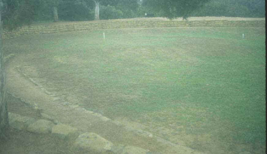 |
Spring/canal-fed, Mummy Lake, in Mesa Verde, CO, USA, adjacent to a well developed Pueblo settlement. |
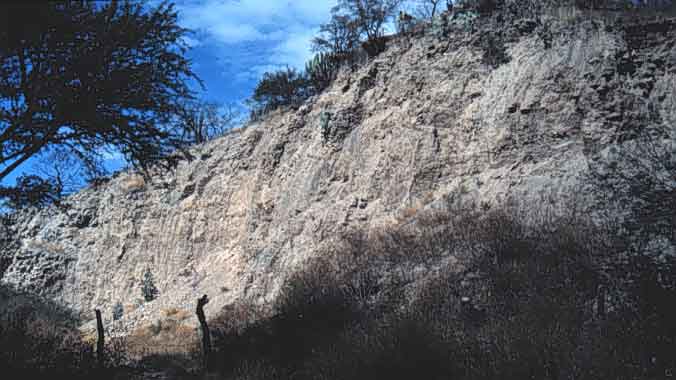
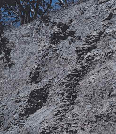
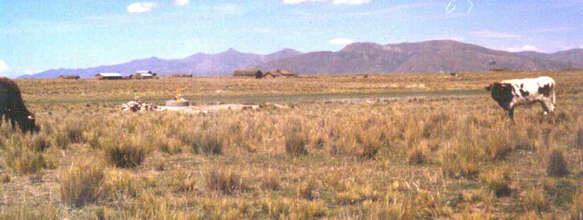
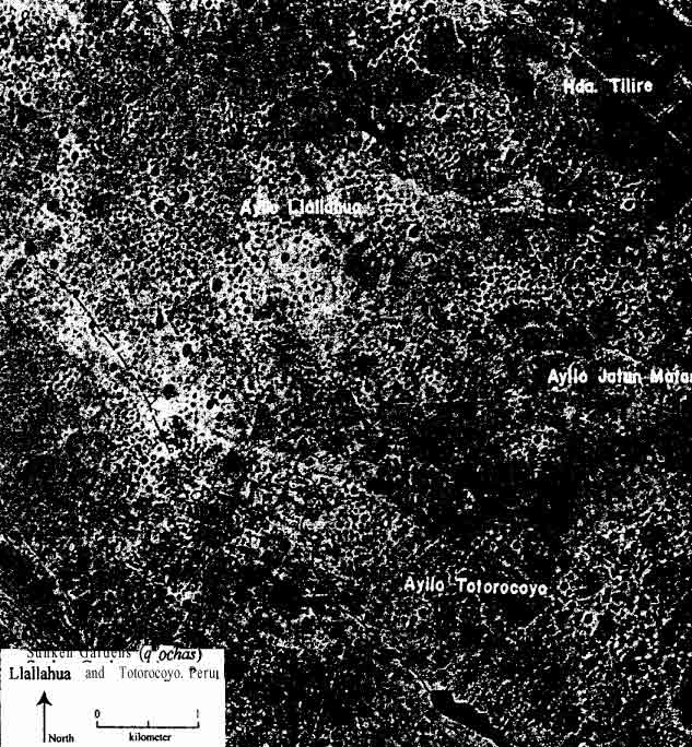
| One of the four reservoirs, built by Huari/Huarpa communities, at Tahuacocha, near Ayacucho, Peru. They collected rain water and also, spring water, canalized from higher altitudes. | 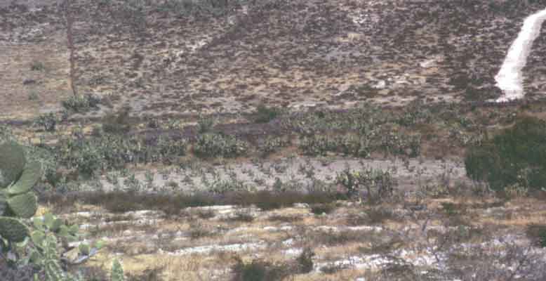 |
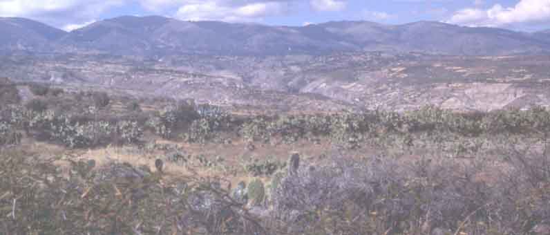 |
A naturally low, 'saddle' point between two mountains was encircled with stone masonry and earth fill. |
| Currently, cactus is grown, in and around the reservoirs, since ancient canals have dried out. | 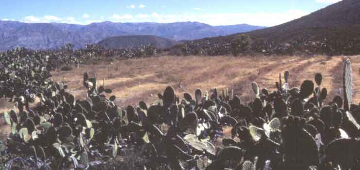 |
|
|
|
| Earthen reservoirs: |
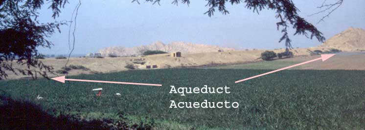 |
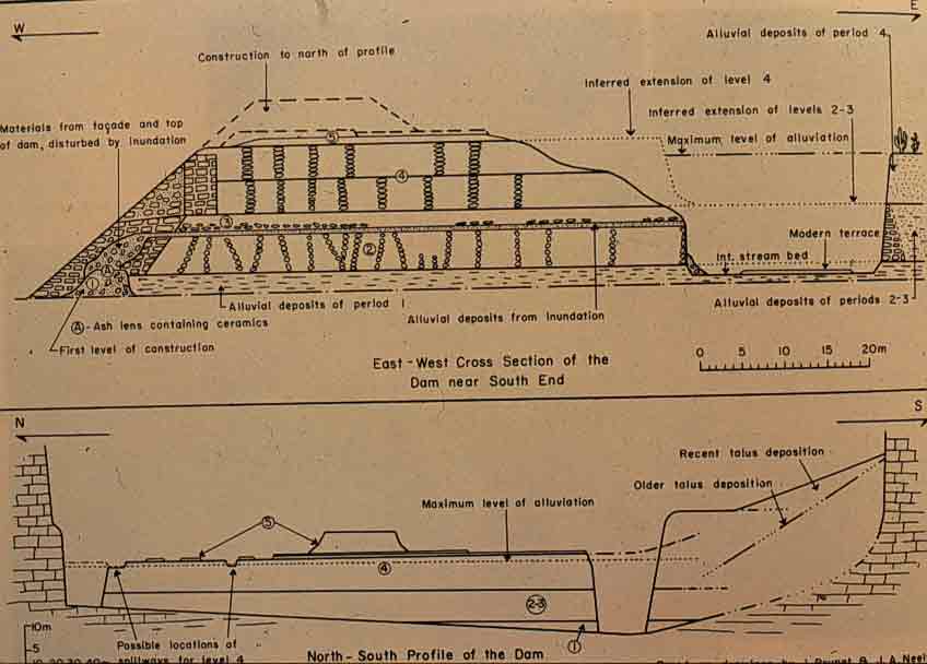
The 1400m long Ascope aqueduct, in La Libertad, Peru, formed the huge 'Alto Pichona' lake. Currently, water accumulates at its far right edge. |
| A closer view of the lake 'Alto Pichona.' The earthen aqueduct is 15m high at the deepest point. | 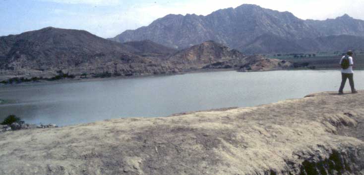 |
|
|
|
|
| Excavated reservoirs: |
 |
|
| This excavated pond, within the city limits of ancient Chan Chan, near Trujillo, Peru, was fed by groundwater, and, probably, by canals too. | 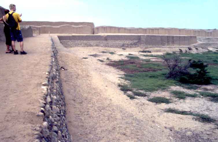 |
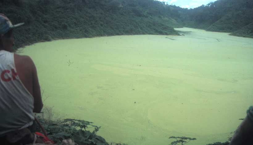
| Modified natural reservoirs: |
|
|
| This volcanic crater lake, Moctezuma Well, near Phoenix, AZ, USA, has long been used as a source of irrigation water. | 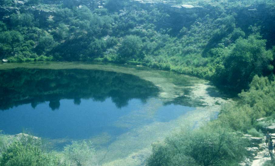 |
If you would like to begin a discussion, please, write to me |